Anchorage to Seward

What to Look for from Anchorage to Seward
Getting from Anchorage to Seward is easy, and the trip itself can be part of the experience. You can ride the Seward Bus Line with door-to-door pickup in Anchorage and drop-off at the Nauti Otter, take the Alaska Railroad for a scenic and memorable ride, or check out an Anchorage car rental agency (or one of our Turos) for the roughly two-hour drive south. If you choose to drive, the route is full of worthwhile stops along the way. We’ve listed some of our favorite sights below, using the mile markers locals rely on, with Anchorage around mile 120 and Seward at mile zero.
Starting at Mile Marker 117
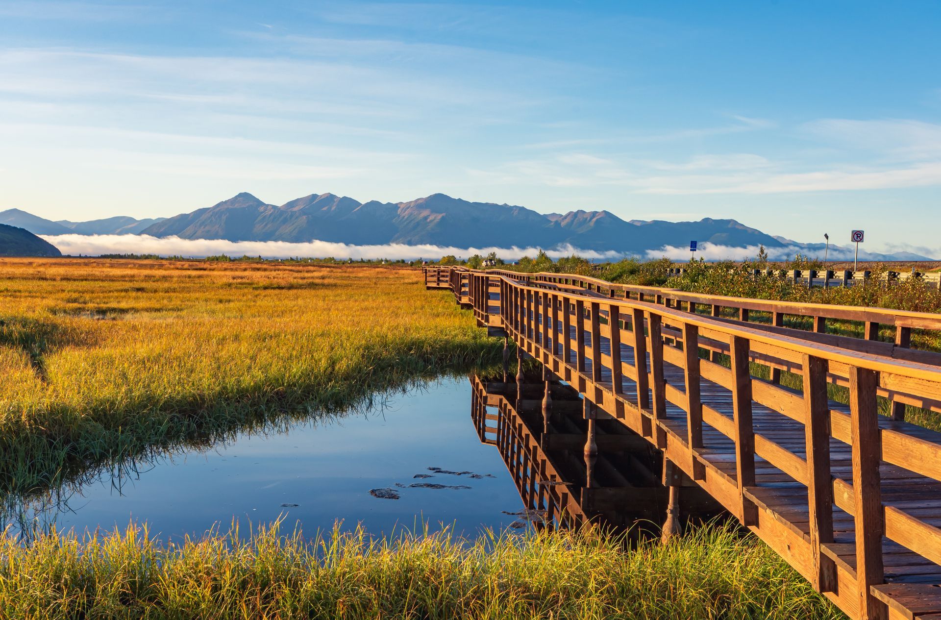
Potter Marsh
Just a few miles south of Anchorage at mile marker 117, nature bursts into view at Potter Marsh. On your left, the marsh buzzes with birds while moose wade through the shallows. You might spot muskrats gliding across the water’s surface. On your right, the waters of Cook Inlet stretch toward Turnagain Arm. Nearby, Rabbit Creek teems with colorful salmon from May through August, leaping upstream in a remarkable seasonal display.
Beluga Whales, Doll Sheep, and Goats
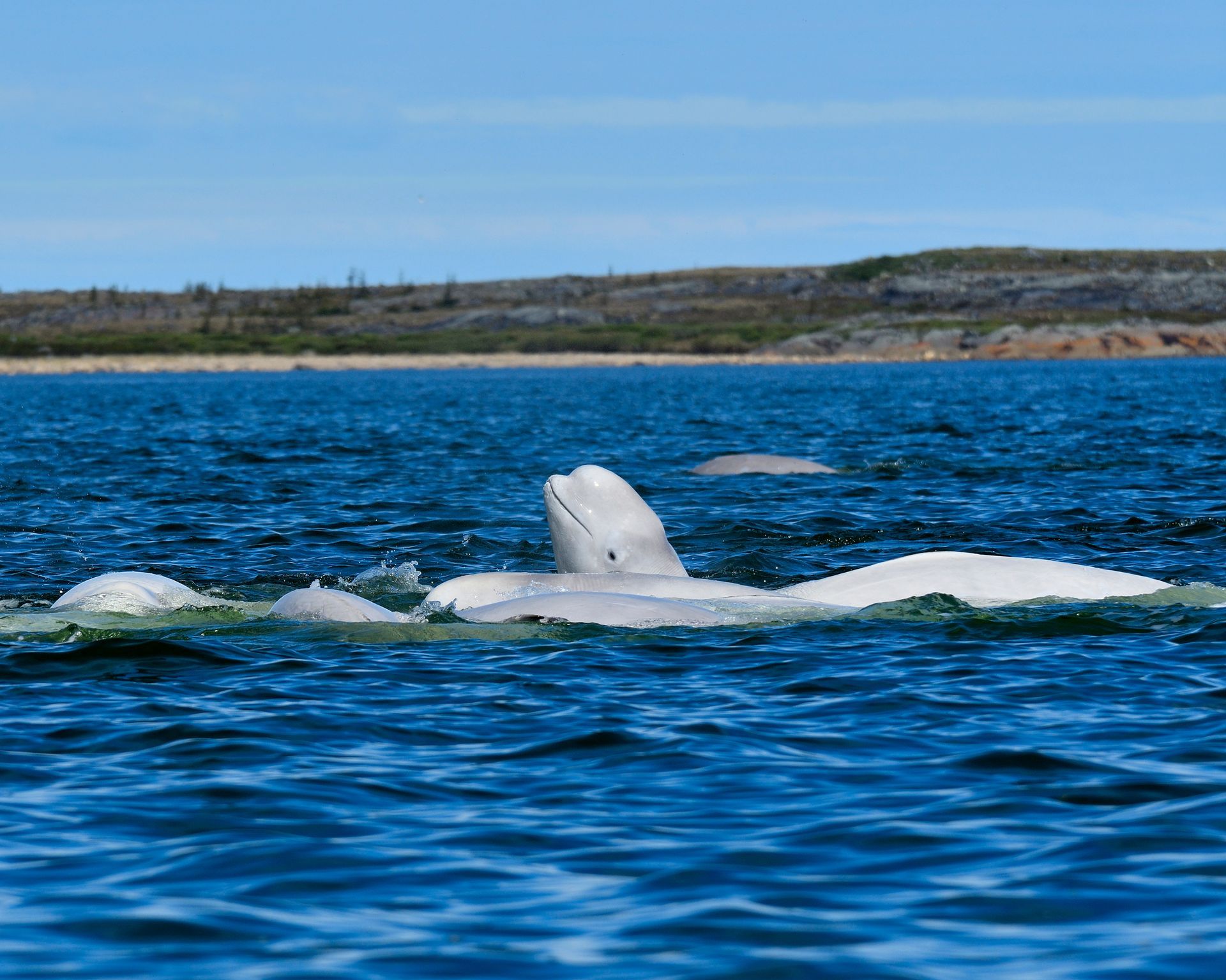
As you continue along Turnagain Arm between approximately mile markers 115 and 100, keep your eyes peeled for wildlife. Pulled-over cars often signal mountain goats or Dall sheep high on the rocky slopes above the highway. Along the train tracks that parallel the road, a stopped train can sometimes mean beluga whales have been spotted in Cook Inlet. This stretch offers incredible wildlife viewing opportunities, but always admire from safe pullouts before snapping photos of these striking creatures in their natural playground.
Surfing the Bore Tide
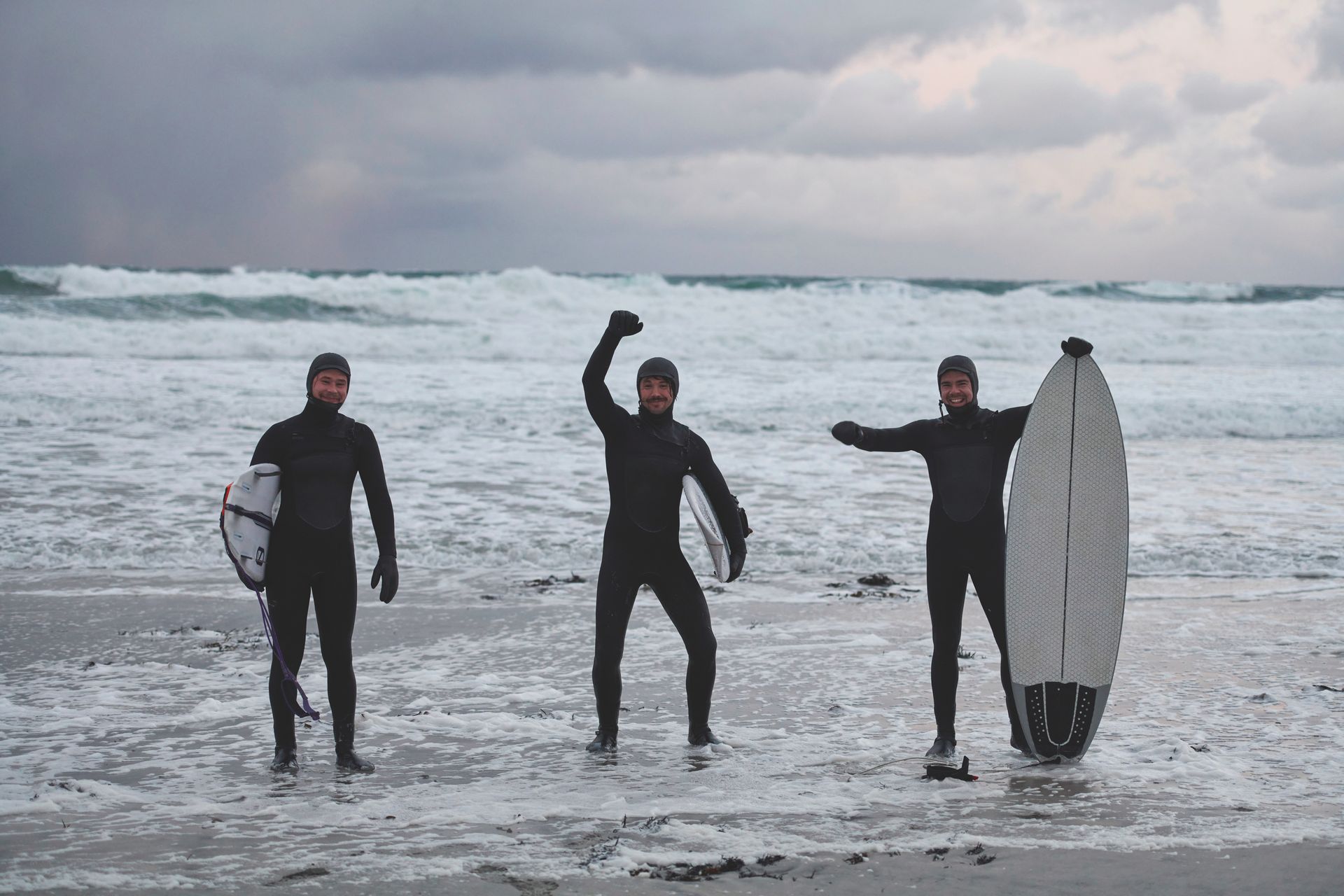
Along the same Turnagain Arm stretch, approximately between mile markers 115 and 95, Cook Inlet hosts one of Alaska’s most unique natural phenomena: the bore tide. Imagine a massive wave, sometimes several feet high, surging through the inlet at speeds up to 24 miles per hour. Unlike ocean waves, this one continues rolling for miles, offering a rare surfing experience where skilled riders can stay on the wave for an extended time. Bore tides typically occur after a low tide in Anchorage, so timing is everything if you hope to witness this powerful spectacle.
Chainsaw Carvings and Art
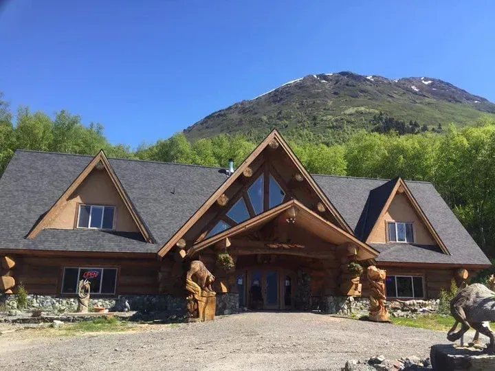
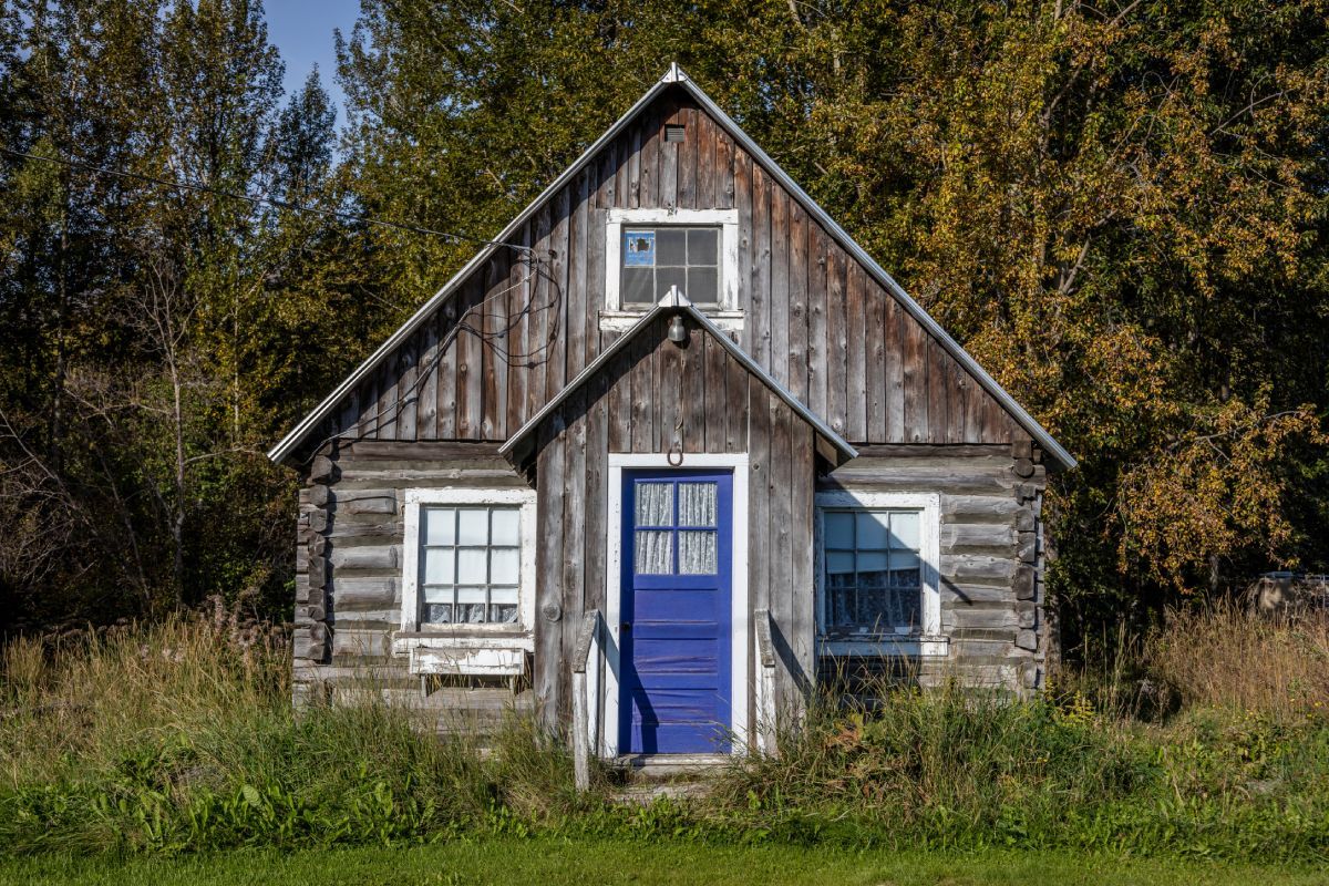
Around mile marker 100, a huge log cabin appears on your left. This is my friend’s business, and every sculpture displayed outside has been carved by him with a chainsaw. If you can safely pull over, it’s worth a quick stop to admire the craftsmanship and take a closer look.
Starting at Mile Marker 90
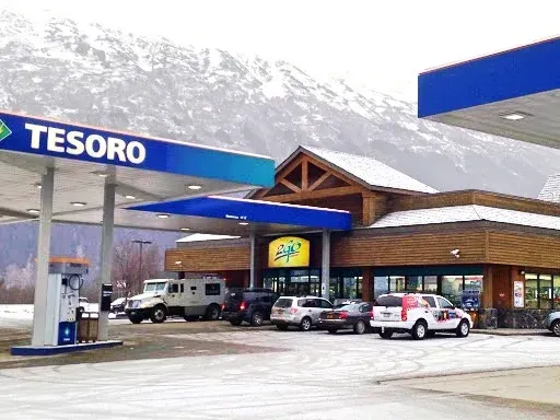
Last Chance Gas Station
At mile marker 90, you’ll find the Tesoro gas station, your last reliable opportunity to fill up before reaching Seward. It’s always wise to top off your tank here. If you are continuing past Seward toward Homer, another gas station awaits about 15 miles down the Sterling Highway after you turn off the Seward Highway.
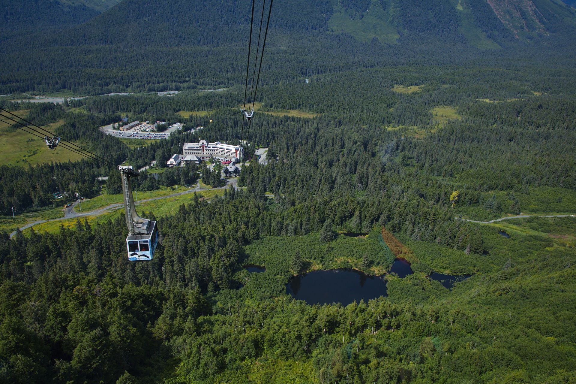
Panoramic Views near Gridwood
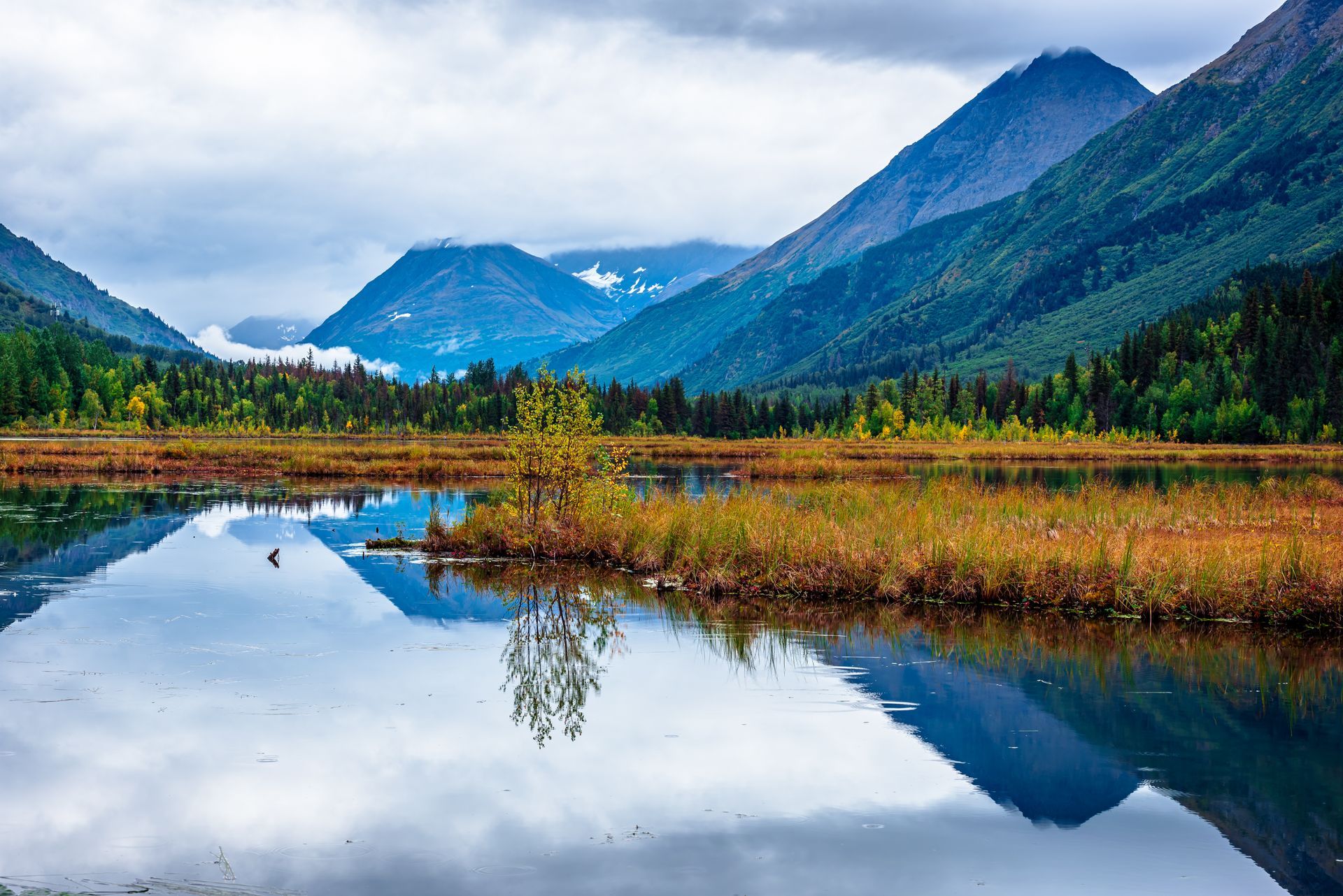
Near mile marker 90 in Girdwood, consider a scenic detour to Alyeska Resort. A short drive off the Seward Highway brings you to the tram, which carries you on a seven-minute ride to the summit of Mt. Alyeska. On a clear day, you’ll be treated to sweeping panoramic views of Turnagain Arm, two mountain ranges, and seven hanging glaciers. After soaking in the scenery, you can enjoy a celebratory drink or lunch at the mountaintop restaurant. Depending on the season, you may even spot ripe blueberries and raspberries dotting the hillsides.
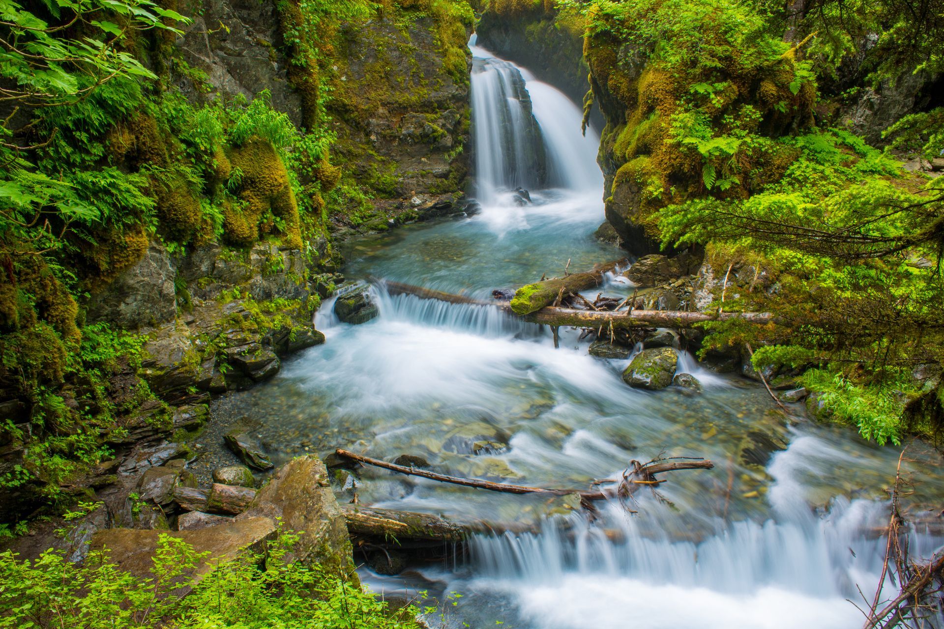
Amazing Waterfall and Super Short Hike
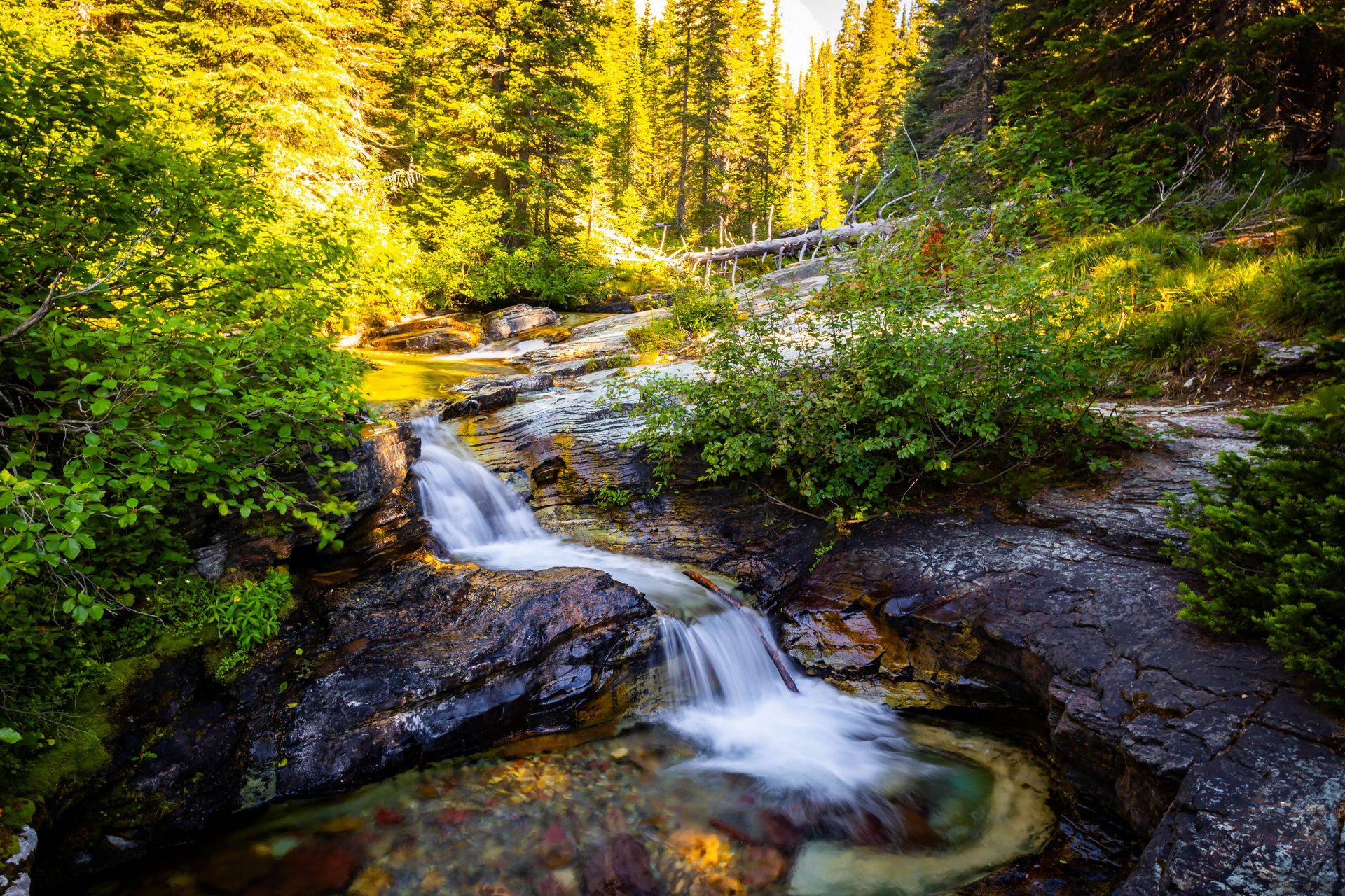
Also near mile marker 90 in Girdwood, Virgin Creek Falls offers a short and easy hike with a beautiful payoff. The trail is only about half a mile long and considered very easy. From the Seward Highway, take a left by the gas station in Girdwood, drive a few miles, then turn right onto Timberline Drive. Follow Timberline Drive to the end of the cul-de-sac where a small parking area marks the trailhead. A brief walk through lush forest leads you to a picturesque waterfall.
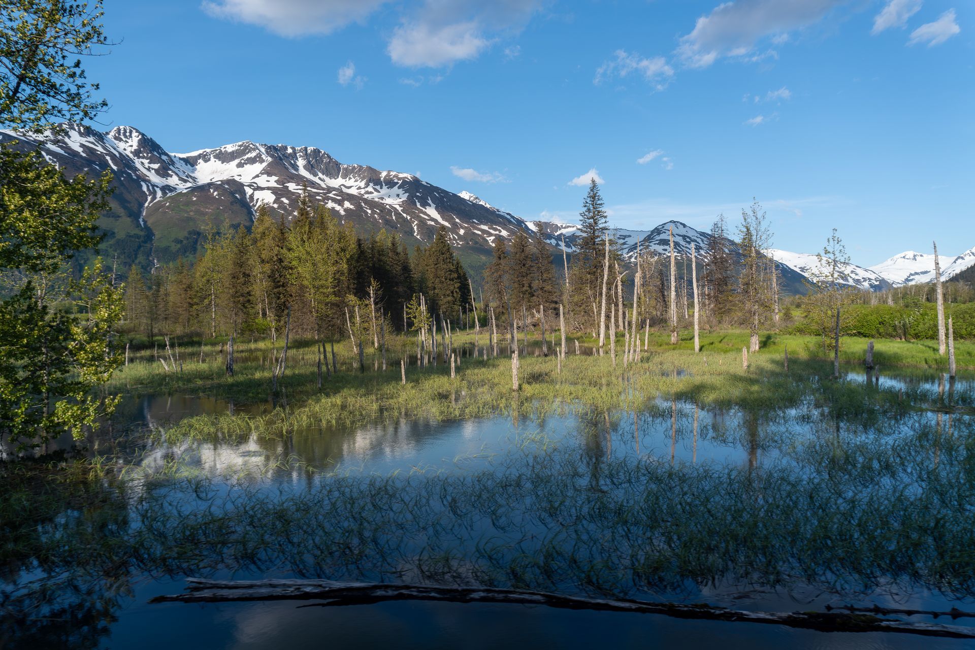
Earthquake Aftermath
Between mile markers 87 and 77, the landscape tells the story of the 1964 Good Friday earthquake, a magnitude 9.2 event that shook Alaska and triggered more than 10,000 aftershocks over the next 18 months. Cities like Seward were devastated. Along this stretch near Turnagain Arm, you may notice abandoned, half-buried houses and stands of dead trees. These haunting reminders mark where land sank and saltwater intrusion permanently changed the terrain.
Starting at Mile Marker 57
The Road to Hope
As you continue south to mile marker 57, you’ll find Hope Road branching off toward the historic town of Hope. A scenic 16-mile drive brings you to this quaint former gold rush mining town tucked along the shores of Turnagain Arm. Hope offers a handful of restaurants, a bar, and a general store, providing a glimpse into Alaska’s past. Earlier in your drive from Anchorage, you may have even spotted Hope across the water on the opposite shore of Turnagain Arm.
Cooper Landing Detour
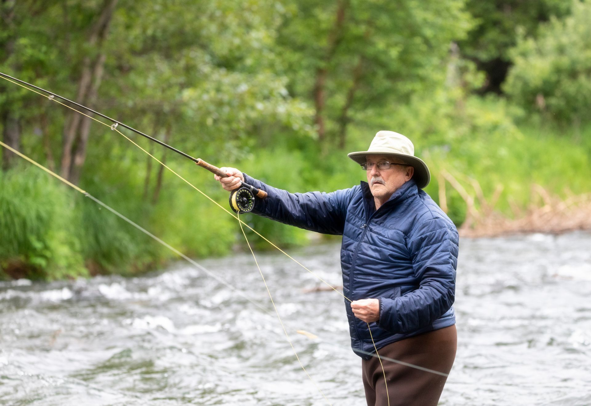
Near mile marker 37, the Seward Highway meets the Sterling Highway. Taking the exit toward Homer for about 15 miles leads you to Cooper Landing, nestled along the glacier-fed Kenai River. This area is a haven for outdoor enthusiasts. During salmon season, you can witness the lively spectacle known as “combat fishing,” where anglers line the riverbanks hoping to reel in sockeye salmon.
Moose Pass
Around mile marker 30, you’ll pass through the charming town of Moose Pass. This delightful stop offers a chance to support local businesses and refuel for the remainder of your journey. Watch for a small mom-and-pop store on your right where you can grab a steaming cup of coffee, reindeer sausage, homemade fudge, and other Alaskan treats. Nearby, Ptarmigan Campground provides a beautiful picnic setting surrounded by mountain scenery.
Salmon Viewing at Ptarmigan Creek
At mile marker 23, Ptarmigan Creek Campground offers another wonderful place to stretch your legs. From late July through early October, with peak activity in mid-August, sockeye salmon return to spawn in the creek. A viewing platform overlooks the water, giving you a front-row seat to this incredible natural spectacle. It’s also a peaceful place for berry picking and picnicking.
Welcome to the Nauti Otter!
As you approach Seward and continue south to mile marker 5.5, watch for a long, straight stretch of highway that lasts about four miles. As the road begins to curve, you’ll see a green house on your right. The Nauti Otter Inn is the yellow house directly after the green one, so be sure to slow down so you don’t miss it. If you’re heading to the Nauti Otter Yurt Village, look for Stoney Creek Road on your left between approximately mile markers 6 and 5. Turn left onto Stoney Creek Road, take your first right onto Bruno Road, then make your first left onto Trail Road. The Nauti Otter Yurt Village will be on your right about a quarter mile down Trail Road.
Whether you stop at every pullout or simply enjoy the views from the road, the drive from Anchorage to Seward is a big part of what makes arriving here feel special. Give yourself extra time, pull over safely, and keep your eyes open—wildlife, changing light, and sudden “wow” moments tend to show up when you least expect them. We’re glad you made the journey, and we hope your time in Seward is packed with the kind of memories that bring you back.