Hiking the Kenai Peninsula

Guide to Hiking on the Kenai Peninsula
Staying in Seward places you in the heart of some of the most accessible and diverse hiking on the Kenai Peninsula. With trails that begin right in town and others just a short drive away, it is easy to mix casual walks with full-day adventures. From waterfront paths to alpine climbs, these Kenai Peninsula hikes highlight the variety that makes the area such a rewarding place to explore on foot. The Nauti Otter Inn offers a convenient home base for reaching many of these trailheads without long travel days, allowing more time to enjoy the experience itself.
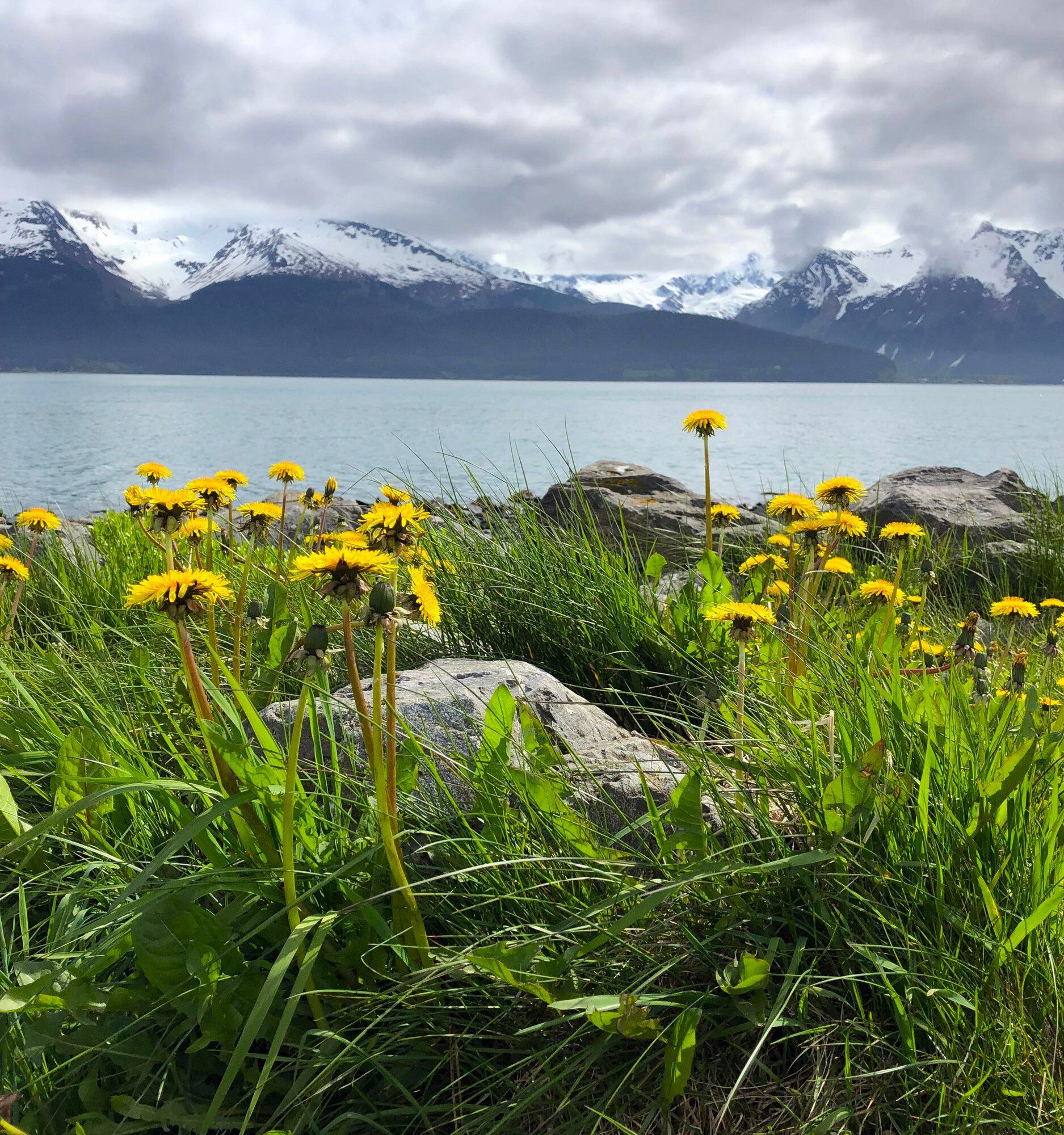
Waterfront Trail
If you are looking for a relaxing stroll, the 1.9-mile Waterfront Trail is an easy, paved option. I love looking at all of the RVs in the city park and watching the fishing activity at the culvert at the outlet of the Seward Lagoon. This is a great choice for those with mobility challenges or little children, and it’s common to see harbor seals, otters, eagles, and the occasional whale.
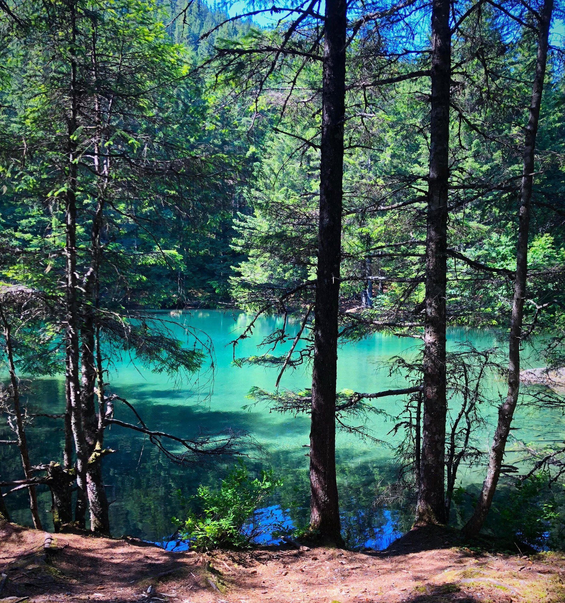
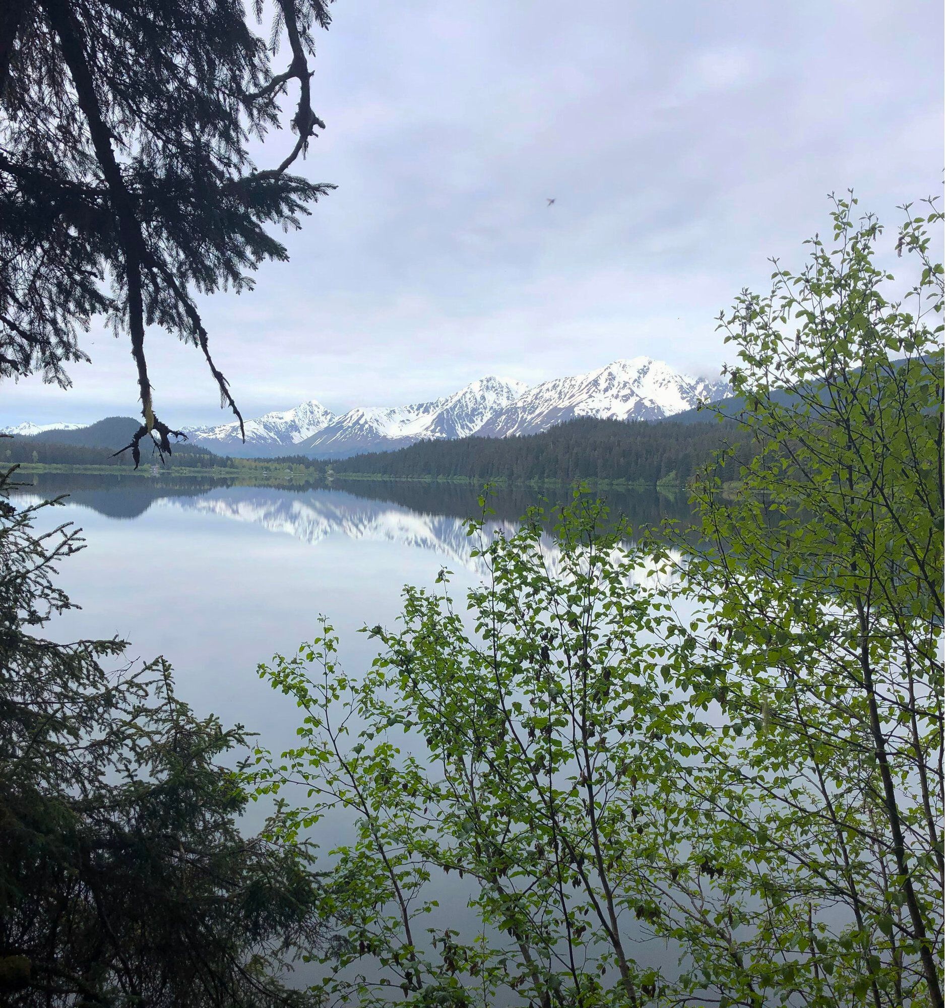
Two Lakes Trail
When I want to get into the woods but am feeling a little less than adventurous, I head to the easy 0.9-mile Two Lakes Trail. This amazing setting starts right in the middle of town, wrapping around two crystal-clear lakes and ending at an enchanting waterfall. It still feels like a true trail, with ups, downs, and twists, but you can take your time and enjoy the berries along the way.
Exit Glacier
The easy 2.2-mile Exit Glacier hike is a perfect way to spend quality time with family and friends. The experience starts before you even reach the trailhead, with date signs along Exit Glacier Road showing how far the glacier has receded over time. I always like to stop at the Ranger station to check current conditions, animal sightings, and the topo map. The first section is ADA accessible, while the path to the glacier itself takes a little more effort.
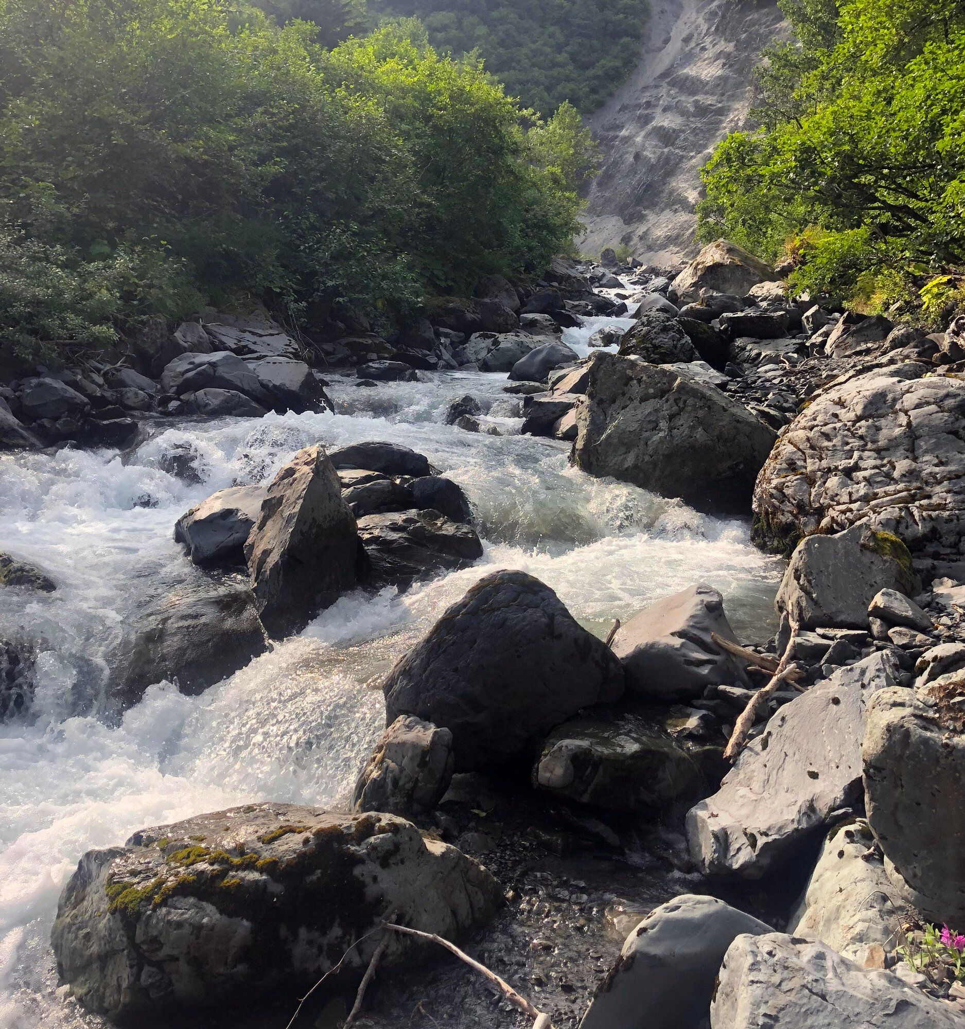
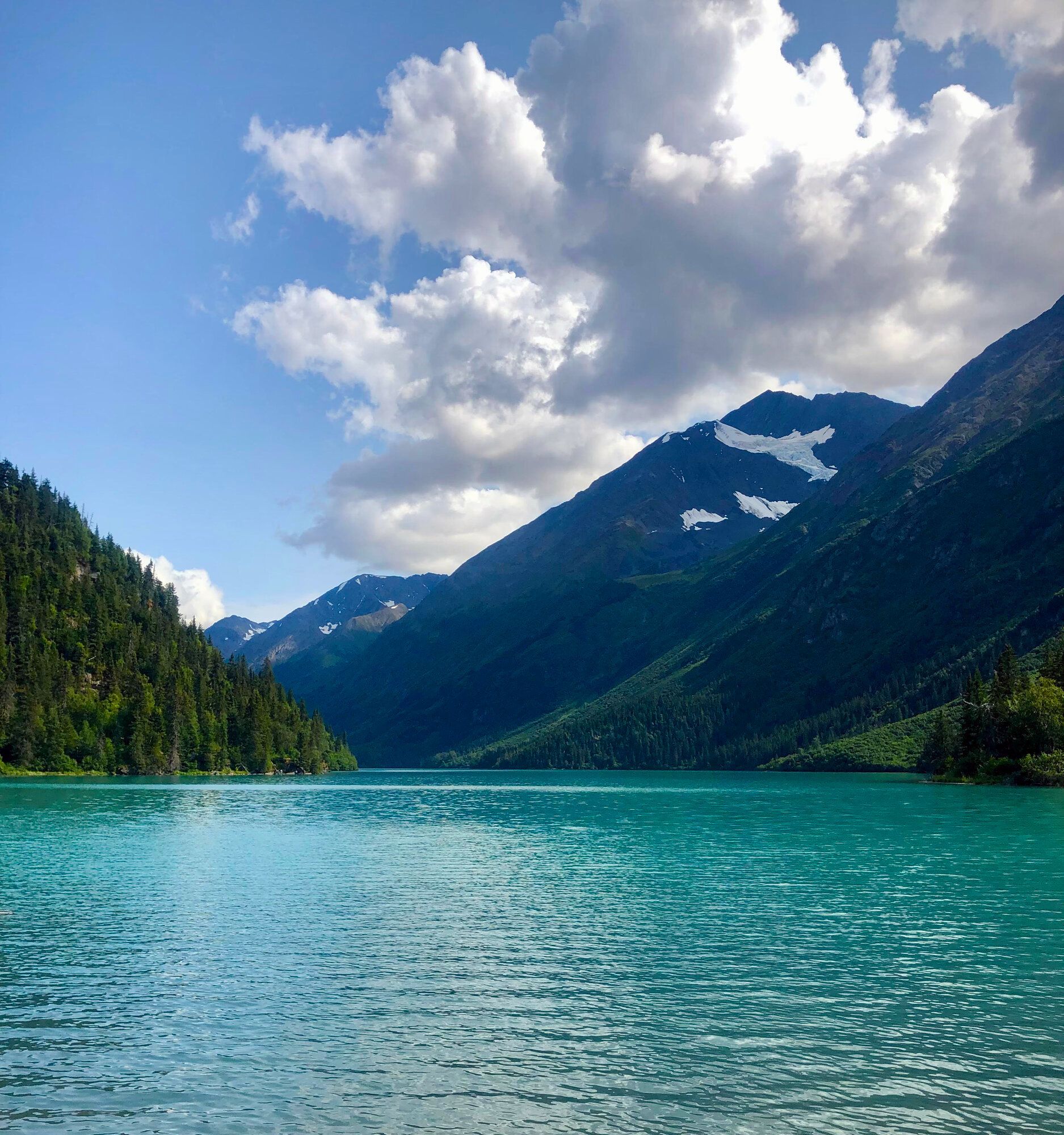
Lowell Canyon
Lowell Canyon is an easy 1.6-mile hike that makes for a great afternoon outing. The trail winds alongside flowing water between Bear Mountain and Mount Marathon, mostly over rocks and around a few brushy spots. The sound of the water is amazing, and there are plenty of places where we like to stop and dangle our toes in the creek.
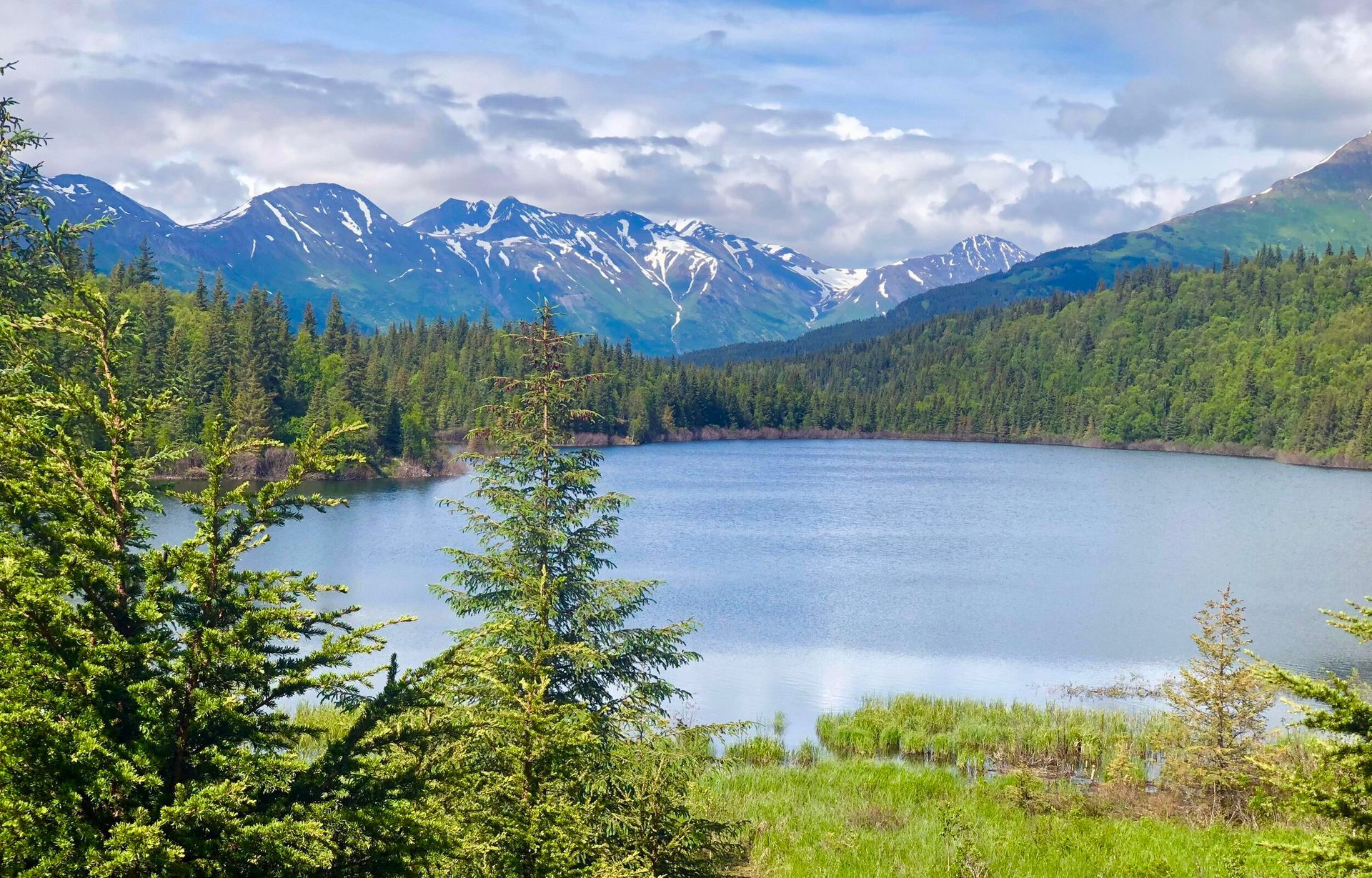
Bear Lake
The easy 4.3-mile Bear Lake trail starts just a few miles from the Nauti Otter and is mostly manageable, with only a few inclines. The trail is well maintained, though creek crossings often mean wet feet. In the right season, the creek is great for watching salmon, and berries ripen along the path in fall. This trail also deserves extra caution, as signs of bears are common, so I recommend bear bells, making noise, and carrying bear spray and a flare.
Vagt Lake Trail
The easy 3.4-mile Vagt Lake Trail is a great hike for the whole family. It is nicely maintained, the views are beautiful, and the walk to the lake is straightforward enough for a relaxed outing. The trail does continue past the lake, though we stopped short of the end. Just be prepared for the mosquitoes, because they can be intense.
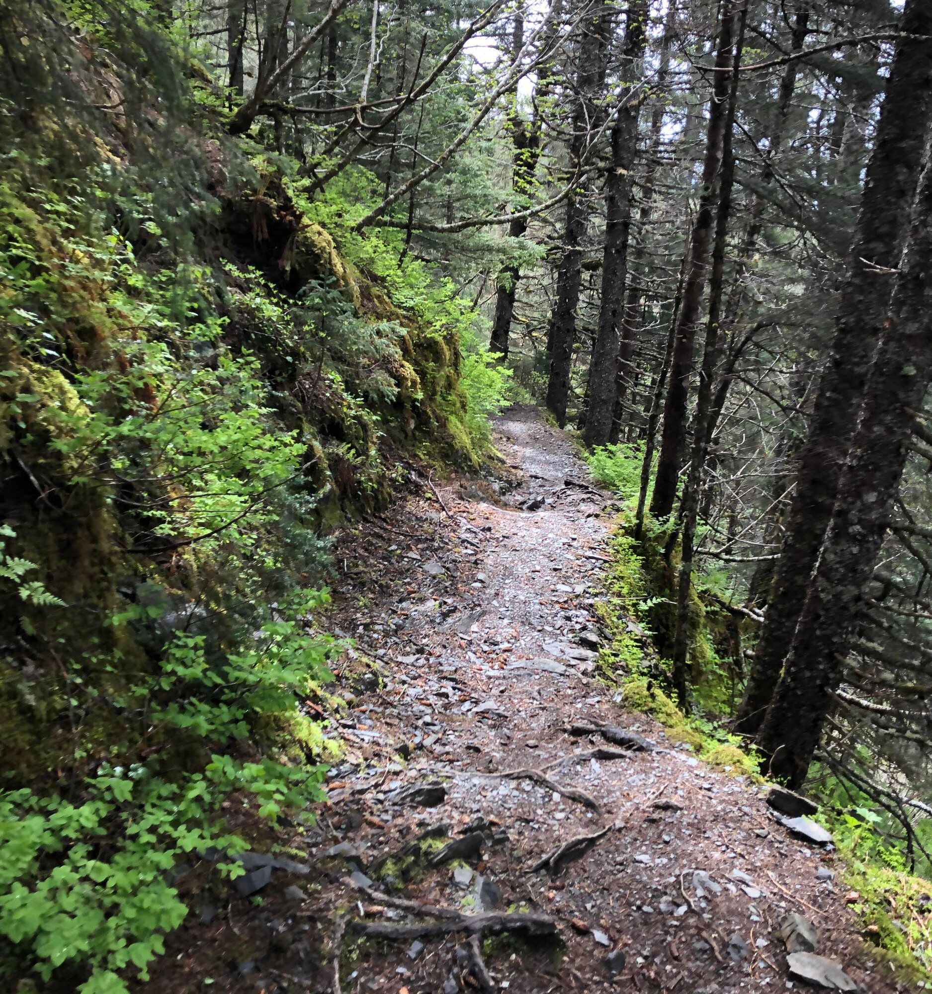
Victor Creek Trail
Victor Creek Trail is a moderate 3.2-mile hike with beautiful creek views and a trail that is generally well marked and maintained. Parking can be a little tricky, since you need to pull in beside the bridge, and if you do not see the trailhead sign, you are in the wrong place. When we visited, a washout along the creek had rerouted part of the trail, but it was still easy enough to follow.
Ptarmigan Creek Trail
Ptarmigan Creek Trail is a 6.8-mile moderate hike with ample parking and a trailhead near the campground. The first mile is very well maintained and heavily used by hikers and campers, but farther on you will find great berry picking and a refreshing swim in the lake. Do not be fooled by the early ease, though—summer growth and tricky footing along elevated sections add some real challenge.
Lost Lake Trail
Lost Lake is a 13.8-mile moderate hike with a lot of options, and I strongly encourage doing your research before heading out. Parking at the Seward trailhead is good, and the path is well identified and maintained, though summer vegetation can get very thick. Early in the season, snow at higher elevations can make the trail hard to follow, and you will lose cell service, so download your map ahead of time.
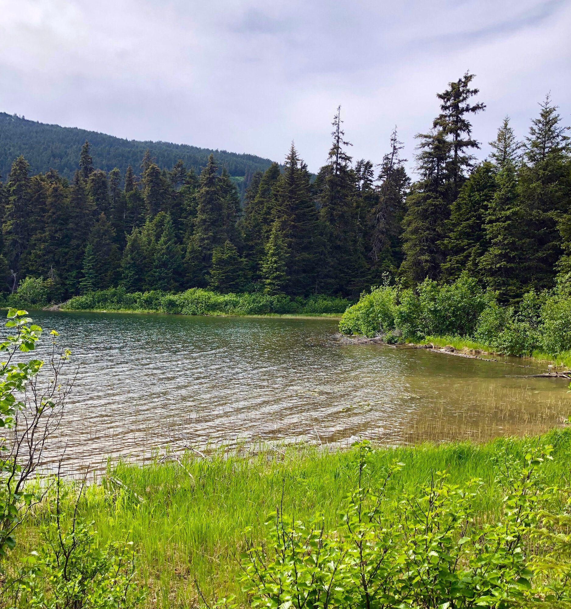
Greyling Lake
Greyling Lake Trail is a 3.4-mile moderate hike and my summertime favorite, especially for fishermen. The trail has ample parking and is well manicured, with several swampy stretches crossed by boardwalks and bridges. Even though it is rated moderate, I think the length and a few inclines are what earned that status. Along the way you will pass wooded areas, marshes, meadows, a train crossing, and of course the lake itself.
Mount Marathon
Mount Marathon, also known as the Skyline, Jeep, or Hikers Trail, is a moderate 4.0-mile route with multiple ways to reach the top. Park along the street and start up the jeep section, then continue when the Skyline portion begins. There is a slight elevation change through a valley before the true climb starts, and the trail can be slick during or after rain.
Caines Head
Caines Head is a hard 14-mile adventure that begins like Tonsina and continues past the beach and camping area until you reach Derby Cove. From there, marked trails lead to North Beach, Fort McGilvray, and South Beach. This hike must be timed with the tides, because failing to plan can leave you stranded. The fort, the views from 650 feet above the sea, and the slightly creepy atmosphere make this one amazing hike.
Bear Mountain
Bear Mountain is a hard 3.5-mile hike with no parking area at the trailhead and an entrance that is hidden in the bushes and grass. From the start, the climb is steep and stays that way much of the route, so wear good clothing and gloves. A pole or stick can help with sliding, especially on wet days, and bear gear is a must. The effort pays off at the top with a beautiful panorama of the bay and amazing views of neighboring mountains.
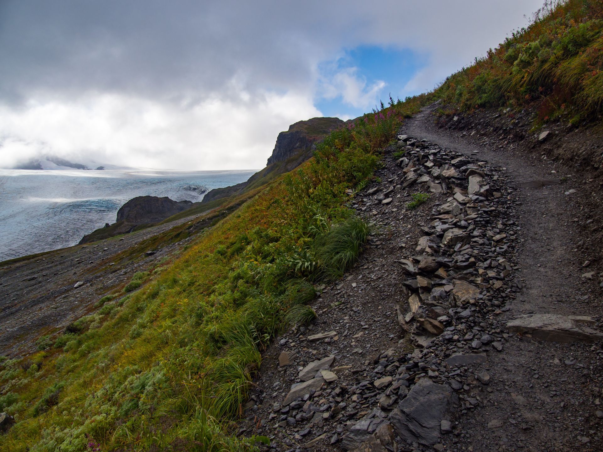
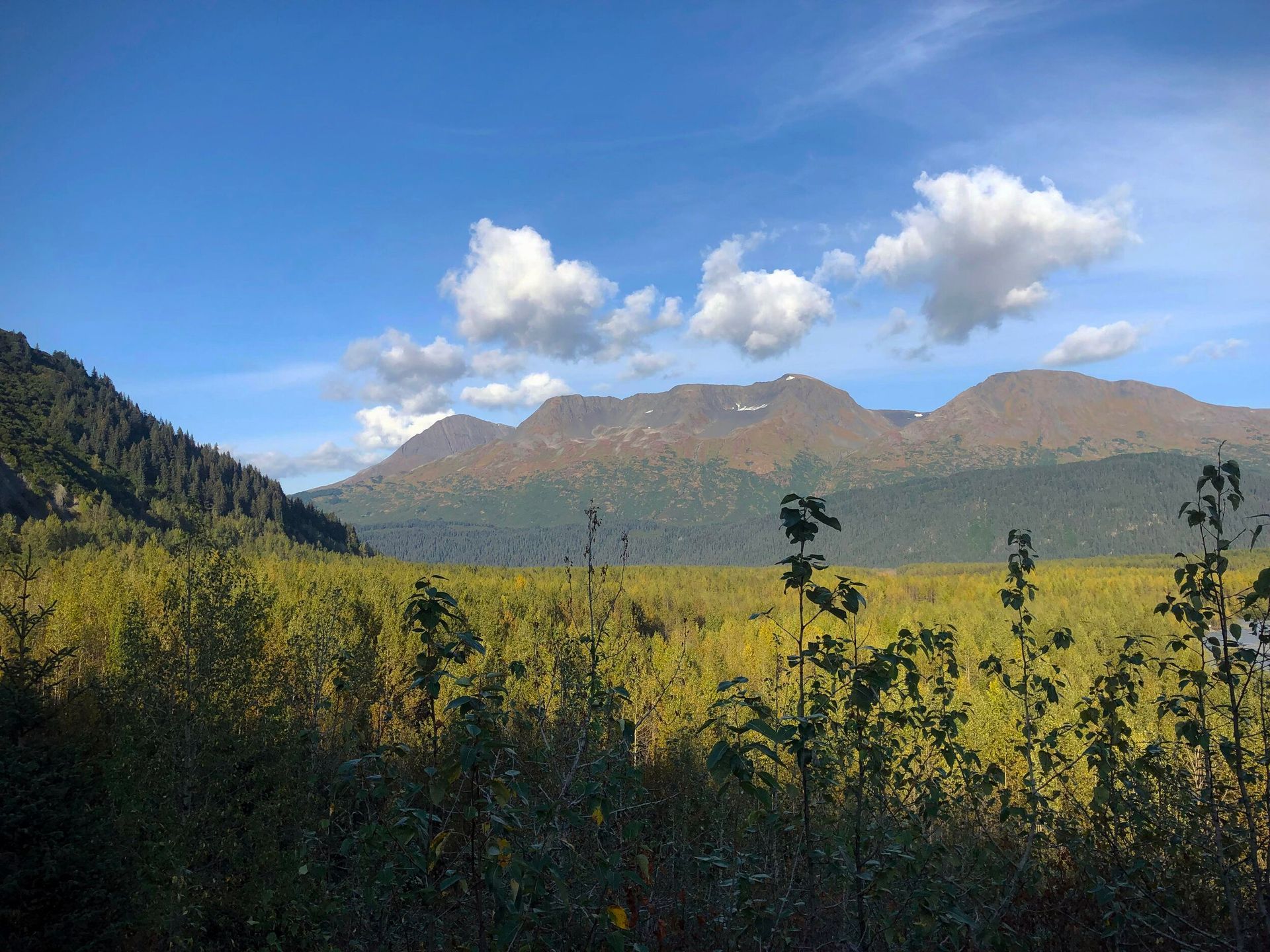
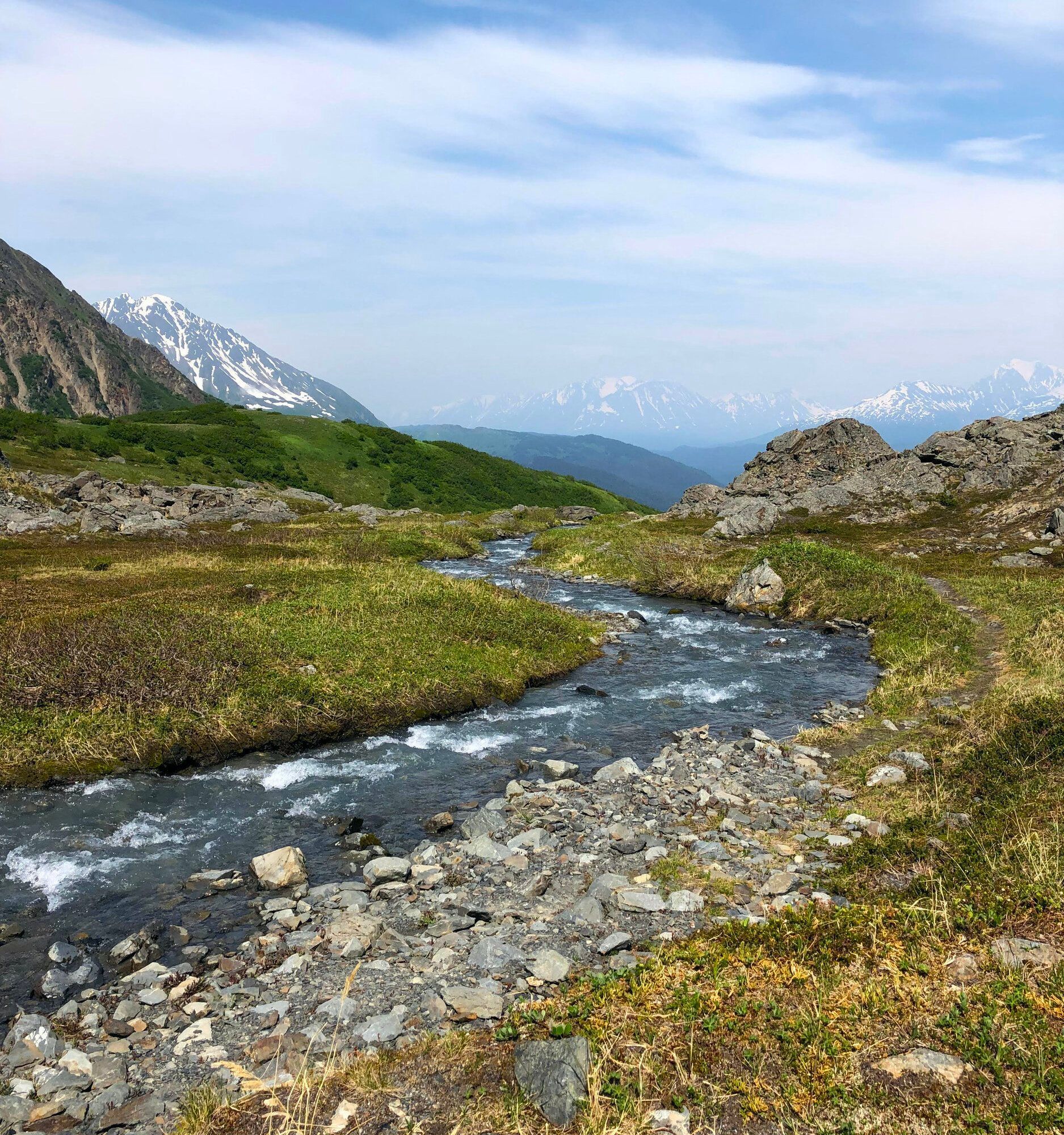
Harding Icefield Trail
Harding Icefield Trail is a hard 8.6-mile hike and one of the most rewarding climbs in the Seward area. Starting near Exit Glacier, the trail gains over 3,000 feet of elevation as it climbs steadily through forest, meadows, and above treeline to sweeping views of the massive Harding Icefield. Even if you do not go all the way to the top, there are several great turnaround points with incredible glacier views. Be prepared for rapidly changing weather, lingering snow, and a full day on the trail.